But the river BANKS aren’t the elevation of the RIVER, right? I mean, is water now managing to somehow flow uphill? Or am I missing something with regard to how the lake is being “emptied”?
Nothing is flowing uphill. The channel of the Niagara river is 41’ deep. The bottom of the channel is lower than the surface of Lake Erie. The water flowing into the river is being pushed by the water in the lake. Imagine a cup with a spout. The spout is lower than the rim of the cup. As long as you keep pouring water into the cup, water will keep flowing out of the spout. The Niagara River is the spout.
Now, if the OP were somehow able to block all the inputs to the lake, water would continue to be pushed into the river until the level of the lake eventually dropped below the level of the bottom of the river. That is, the water in the cup would be below the spout. The bottom of the river isn’t nearly as deep as the bottom of the lake, so the lake will still have water in it.
To drain the rest of the water from the lake, the OP wants to either dredge the river all the way down to the level of Lake Ontario (making the spout lower,) or install giant pumps to lift the water up to the level of the river channel (siphoning the water out of the cup.)
Has that been a thing in the last 40 years?
I’m with Kunilou on this:
The Niagara river is only 17ft deep at the river’s head (Buffalo end) versus a max Lake Erie depth of 210ft. If you stopped all in inflows to Lake Erie, all that would happen is the top 17 feet would flow out into the Niagara and then Lake Ontario. You’d still end up with 193ft of water in Lake Erie. This would simply give lake-front cottage owners a massive property windfall.
We need to figure out a way to not only stop all the inputs, but also drain all the water out of the deepest part.
As suggested: My money is on building some sort of diversion device around the perimeter of the lake, (a wall perhaps?) Wiki says only about 1200 km of shoreline, so it’s feasible. Then bore a big tunnel at the deepest part directly to to Lake Ontario.
Still on the “to-do” list:
- How big a tunnel would we need to drain it in any meaning full way? Back to you Mixdenny: how fast do you want to drain it? A couple days or a couple years?
- Start counting all our money from all the shipwrecks we find!
You’re missing my point. Someone upthread pointed out that only the top 12’ or so of Lake Erie would be drained by simply blocking input and letting the lake drain using available output. Someone else then made the assertion that, because the elevation of the Niagara River at Buffalo was 600’, then much more of Lake Erie would drain. It was this assertion I was questioning.
Just keep trenching from the falls. The max depth of Erie is 63m and the height of the falls is 51m so there will still be a small lake left when you finish trenching, the part which is as low as Lake Ontario. As the lake drains, you will have to trench/dredge from Buffalo along the lake bed to the deepest part.
I guess the question will be who owns and gets to sell off the new real estate? States or Feds? Does the international border relocate to the middle of the drainage trench, or can the USA dig the trench on their side and end up owning both shorelines?
Hmm, good question. I figure people will not be in a real hurry, and a slow drain would allow us to explore the ever expanding dry (swampy?) shore for artifacts. Let’s say 6 - 8 months. I would do some hydraulic calcs but my tables only go up to 2 foot diameter pipes.
Dennis
You see, here’s the thing. People are fascinated about draining various lakes. Heck, there is an entire TV series called “Drain the Ocean” using CGI. I have seen a couple of large lakes drained in NE Ohio over the years and it is really cool. And Lake Erie is full of history. And shallow. And sloped. It can be done.
It isn’t going to be easy. It certainly would be expensive. It may not even be feasible. But unlike draining an ocean - it is* possible*. We need to approach this with the same conviction my old boss, Wernher Von Braun, must have had back in the 1950s as he gazed at the Moon: “Vy, yes, of course ve can do it!”
Instead of thinking of this and asking, “Why”, I ask, “Why not?”
- (I may have borrowed that last bit from somewhere)
Dennis
Wait, did you literally work for Von Braun? Cool!
Von Braun’s autobiography was titled “I Aim For The Stars” and some joker suggested the subtitle should be “…But Sometimes I Hit London”.
I did a quick back-of-the envelope calculation when I first read this post. Doubling average outflow of water from the lake would drain it in 2.5 years, which was faster than I’d expected. You’re suggesting that we drain it about seven times faster than that. I don’t know, but that much extra water might cause flooding along the St. Lawrence River.
I have to say, around here (vic.aus), you don’t need to drain the shallow lakes: they dry out every now and then. (Or, in the case of the big one in the centre, they get wet every now and then.) And around here, most of us consider a dry lake rather more boring than a wet one.
Thus my suggestion to evacuate the downstream residents  I perhaps neglected to mention that that meant all the downstream residents. Why, just a little bit of extra flow last year caused costly flooding on the shores of Lake Ontario. But I’d assume that if we had time to prepare we might open up the locks to their maximum possible and mitigate some of the near-catastrophic flooding surely to occur downstream.
I think this is the answer. Easier and probably less expensive than tunneling (what is the geology under the lake - bedrock?). Essentially, doing what nature is currently doing, but doing it artificially and a lot faster.
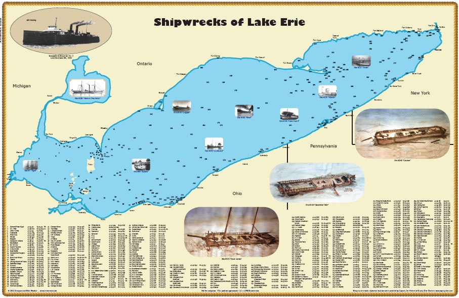
Something like these?:
https://lakesuperiormagazine.com/wp-content/uploads/2014/09/ShipwreckPosterErie.jpg

Obligatory Tom Lehrer link: https://www.youtube.com/watch?v=TjDEsGZLbio
This may actually solve our lake-effect snow problem.
Yes! A version of the first one is what I had.
In post #2 you said the Niagara river is 29’ higher in elevation than lake Erie. That’s the question.
The elevation of Lake Erie I gave is an average (or mean, whichever Wikipedia chose to use.) As of this morning, the lake elevation at Port Clinton is 597’, at Cleveland it’s 572’, and at Buffalo it’s 575’.
The water flowing into the Niagara River is at 575’.
The elevation I gave was the elevation of the banks at the river’s edge, which I consider to be flood stage. That’s what I meant when I said the river is about 600’ (in this map it shows the edge of the banks drops to about 580’ in spots). That would be the height of the river at flood stage. But as I said back in post #2, the maximum depth of the Niagara River is 41’. If the OP builds his giant project to dam the inputs, the lake is only going to flow down to the bottom level of the Niagara River. That’s the point I was making.
Now, in post #6 the OP made it clear to me his plan included either digging a deeper channel or pumping the water up to the level of the Niagara. Which made my objection moot, but not the actual numbers. The TOP of the river bank may be higher than the level of the water flowing into it, but as long as the BOTTOM of the channel is lower, nothing is flowing uphill.
I’m not claiming that anything is flowing uphill. I’m merely pointing out that you said the river is higher in elevation than the lake, which is why DSYoungEsq asked for clarification. You have since done so, but that doesn’t make his confusion weird.