Flying over Boston’s Logan airport before looping back for a landing.

And while taxiing, we say this guy headed our way.

Flying over Boston’s Logan airport before looping back for a landing.
And while taxiing, we say this guy headed our way.
It was a little cloudy/ hazy, but I love this shot of Mount St. Helens with Mt. Adams looming directly behind.
Same flight, I got all of the Stanford Linear Accelerator in one photo.
Great shots
Somewhere over Wyoming.

Flying back to Boston, here’s a shot of the airport and the city.

On approach to the airport formerly known as Lindbergh Field (SAN)

Flying over El Paso looking south; I was surprised at how visible the border was, and how Ciudad Juarez is so much more lit-up than El Paso.
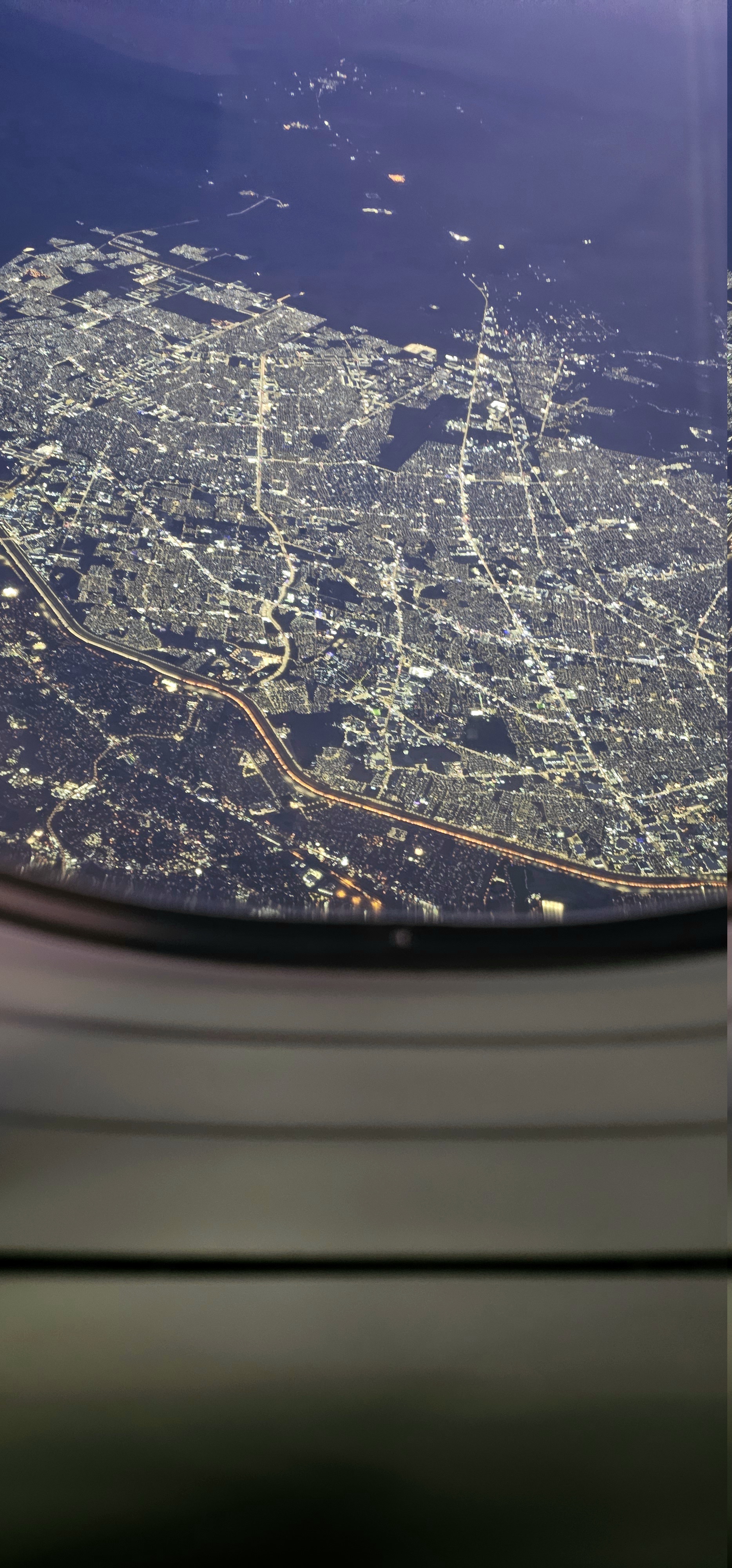
I happened to Google the lighting difference between Ciudad Juarez and El Paso. I found it fascinating that so many people have asked about it, that it showed specific explanations about the difference.
I live next to the Tijuana/San Diego border. It was fun to read how the sprawl is there for different reasons. How very illuminating!
Gonna make us Google it for ourselves, huh?
Oh that made me laugh! Google said El Paso has more undeveloped green space with, I vaguely recall, 675,000 people. In contrast, Ciudad Juarez has more urban avenues with a denser population of 1.5-2 million people. It seems to me like a natural cause of the different appearance.
Then it delves into a deeper explanation of the electrical systems in C. Juarez vs El Paso. My layperson summary of this point is that El Paso has more shades around their street lamps than they do in C. Juarez.
Mine is honestly C-grade work but I do work with urban trash collectors, not engineers.
In ABQ, if you’re high enough at the Sandia tramway & look back it’s like a biblical walled city with a very distinct line of urban blocks of houses on the left & nothingness of the Pueblo on the right
Oh I see you’re writing about Albuquerque. That must be striking as you describe it! I’m with you for sure!

