That is really cool. Although the wikipedia link shows this exact picture and does call them farms rather than reservoirs. They’d be pretty small for reservoirs for a project of this size, and they match up quite well with the size of irrigated fields shown in Phase42’s link.
Interesting to see that the irrigated fields in the desert are placed efficiently together where they have all the room in the world, but the fields in Washington are spaced based on 1/4 section land ownership and thus forced to use the land inefficiently.
I can see two lines. One is the aforementioned white streak which is perfectly straight and sharply edged that fades out on each end into nowhere. Then south -southeast there is a virtually identical black mark on the map. Far too straight, long, and sharp to be a contrail. Not a part of the trademark: ) And seemingly translucent to the picture beneath. I give up. Did one of the Google secretaries and the mailboy have too much fun in the copy room again?
what on earth is this? It is directly west of Al Kufrah. It appears to me to be a giant lake of crude oil, maybe?
And why would there be a hi-res picture of this chunk of desert in Algeria? Zoom in…wierd…
If you look about 300km Northwest, you’ll see a a few more of these laid out in neat rows. Some are active and some look long since dried out. Follow the road north and you’ll run into a couple of hi-res areas that contain some “interesting” going ons.
Also, there is a yooooooooge fire 600km west of this “farm”.
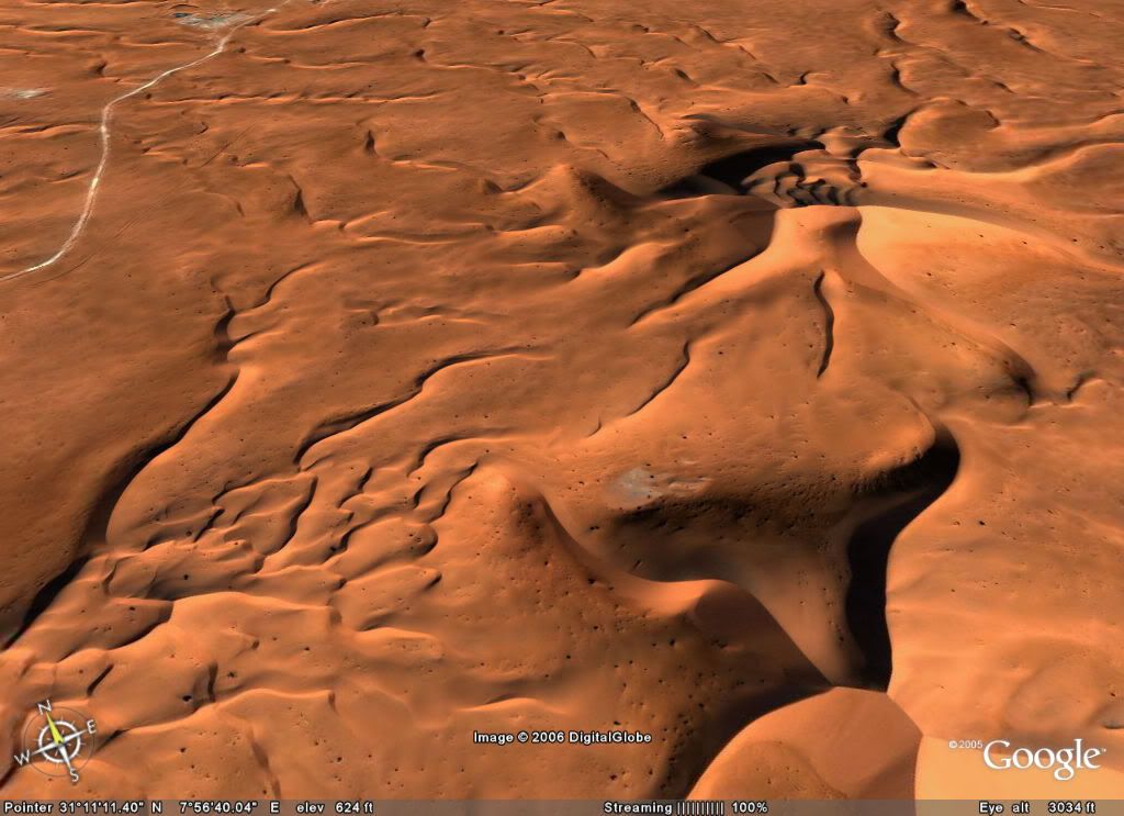
What could explain what appears to be huge holes/pores in the earths surface this. I assume they are hills, but its difficult to tell. Does anyone have any land based pictures of this area that would better help me understand it.
You’re looking at the star dunes of Issouane Erg. They look like pock marks because of the strong shadows. Google earth actually helps to reveal that they are dunes and not holes.