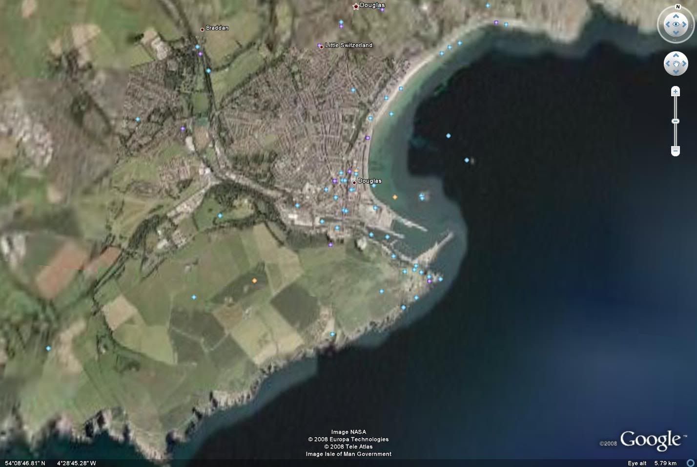
A friend at work gave me a CD with 3 aerial photos of the Isle of Man (top,middle,bottom) and the software to zoom in and out. These photos are so incredibly detailed that I can zoom in to a point where my house is about a centimeter wide on the screen. (I could zoom in further but then everything would be blurred)
If you know the island and want an aerial shot of any particular part of it, just ask and I’ll upload it to the web (photobucket or imageshack, depending on my mood)
Cool, I love aerial photos! That’s why I didn’t hesitate to pay for Keyhole once I learned it was no longer very expensive. Most places aren’t covered by super high-resolution images, but one or two places have it down to 3-inch resolution (3 inches per pixel), for example Cambridge, Massachusetts.
It doesn’t have imagery for very many places outside the US, though.