I remember some story from when I was a kid of a spring or river that went down both sides of the Continental Divide, so that half of its water ended up in the Pacific and the other half in the Atlantic. Seems like an unlikely situation, but I guess not impossible. Either way I’m sure it couldn’t be a common occurrence.
Isa Lake (which is actually more of a pond than a lake) in Yellowstone National Park straddles the continental divide. Water flows out both its east and west ends. Curiously, the water that flows west ends up in the Atlantic, and the water that flows east ends up in the Pacific.
Small high mountain lakes are often simply declivities filled by runoff / snowmelt. They shrink considerably or dry up completely during summer months. Further poking about finds references that Isa Lake is indeed a snowmelt pond:
The last time I saw Lake Isa, I think it was during late summer (certainly after peak snowmelt season), and it did indeed have a trickle going each way. But you couldn’t call them anything more than trickles: I could have stepped over either one without breaking my stride.
(presumably questioning how the water flowing out the west end winds up in the Atlantic, and the East end in the Pacific)
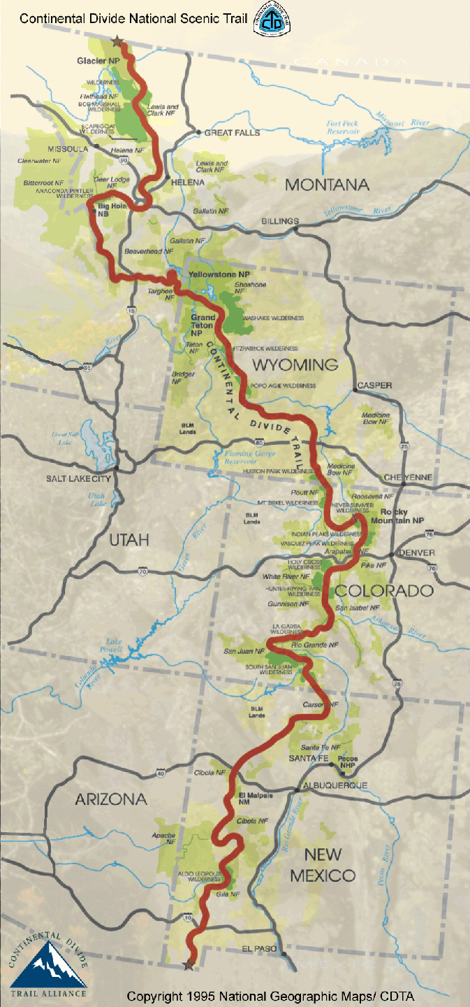
The continental divide does bend back on itself in sometimes. There are places where the Atlantic watershed is WEST of the line, and the Pacific watershed EAST of it:
I cannot offhand find a map of Lake Isa illustrating what the actual local topography is wrt the divide.
ETA:
Rivers in that part of the country flow in all sorts of screwy directions before sorting themselves out. If you look at the western Montana border, you can see where the surveyors got fooled and deviated from the divide.
If you were to draw the continental divide as a line, it would split into two lines forming a little oval at lake Isa. The lake itself is in effect a endorheic basin (i.e. one that flows to nowhere, like the Great Divide Basin). The only reason why the water goes anywhere is because the water level in the lake overtops the shores of the lake (and the continental divide on both sides).
With Two Ocean Creek it’s a similar situation. There’s really two creeks-- one that flows from the north and usually becomes Atlantic Creek and one that flows from the south and usually becomes Pacific Creek. But the meet in a swampy valley and if the water level is high enough in the swamp, the swamp swallows up both creeks.
Wrong! Although the real story is actually more interesting I think. In the early 1860’s a congressman named James Ashley who was on the commitee that handled the territories basically invented the name “Montana” for the territory that would eventually become Idaho, but with it’s border at the continental divide. But then in the Senate, they overrode his name and chose Idaho instead and Ashley was so irate about it that he used his influence to move the border out to the divide of the Bitterroot Mountains, effectively “stealing” the area from Butte west from Idaho.
Okay, granted there were also some practical factors of governance involved ( as anyone who’s ever spent 9 hours driving between Missoula and Boise knows), but I’d like to think it was the name issue that got Ashley’s decisive support.
Also, I can easily disprove the “confused/lost/drunken surveying team” story because the Bitterroot divide (and hence the MT/ID border) wasn’t even surveyed until the 1910’s and so if you ever look at an old map that shows the state borders, you’ll see that the border is sort of an indefinite squiggle.
No, I’ve repeated it before, too. I believe I’ve heard it from at least one professor in either Bozeman or Missoula. A professor speaking casually on something not his subject, I will grant you.