What was neat to me was that they had all these individual pages in a file. You said,“I want to go from NYC to St. Augustine Florida.”. They looked in some book and it told them which pages to pull and bind.
For anyone who thinks navigating in the US was a hassle prior to GPS, you should try driving in Japan. Only the largest streets have names or numbers, and addresses go around the blocks, rather than along streets. Groups of blocks are given a name and then the blocks are numbered. Knowing the address of a building in front of you may tell you nothing about the address across the street.
Japanese publish thick books of detailed maps, and drivers were really good at using them.
I had a tank bag with a clear cover for maps which I put on my bike (image from Internet)
I would copy the relevant pages and put then in the case. When I would get to the edge of one page, I would have to stop and change to the next page.
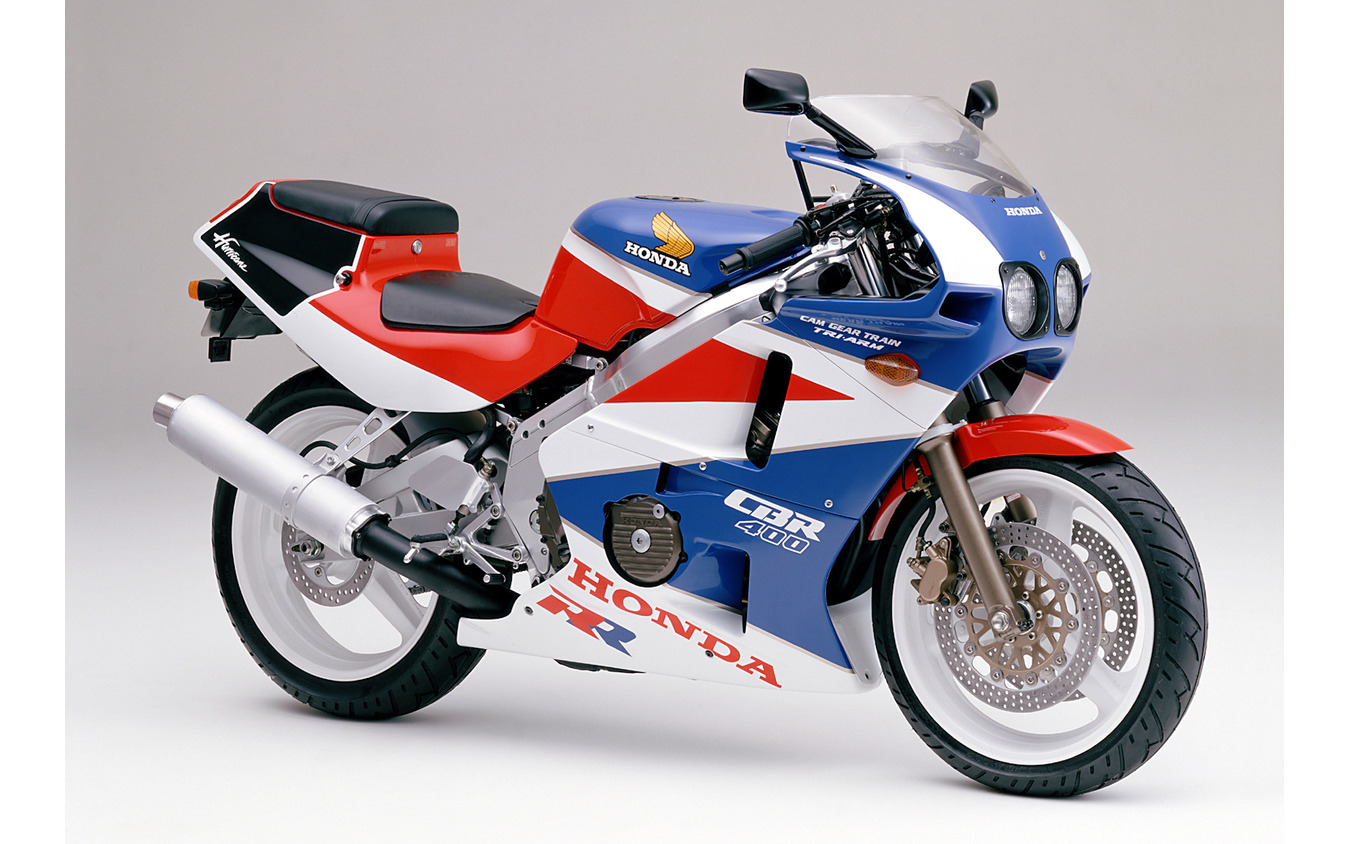
Is that what your bike looked like? Either way, it’s nice.
At the used bookstore today I discovered there was another version/competitor of the AAA Triptik – the Conoco TourAide. The one they had was from 1936 for travel between San Francisco and Atlanta. About the size of a Thomas Guide, it was spiral-bound with fold out maps with the route highlighted, photos of tourist attractions and listings of lodgings, gas stations and places to eat. A very cool bit of travel ephemera, but it was a bit overpriced at $20.
Yes, that was the color scheme. It was a 399 cc bike, because the “big” motorcycle license for 400 cc or larger is much more expensive than the “middle” license.
That size bike wasn’t bad for getting around in Tokyo.
For a whole bunch of decades now I’ve spent a lot of time driving delivery of various types and my vehicles run the gamut of equipment. The van I bought in '99 that I put 165K paid miles on has a milk crate bungied in between the front seats and it has Thomas Guides, road atlases, foldy paper maps, a few laminated topo/trail section maps and–this was a prized score back in the day–the Radio Cab one sheet on heavy paper with all the named streets with their corresponding address numbers that I almost have memorized, especially out in SE where I live and mostly work. In my current vehicle, a Subaru, I have it all kitted out for delivery with insulated bags and emergency equipment and tri-peak tires and a phone mount, charger and Bluetooth stereo that allows me to navigate all over the place with nearly effortless precision, these kids don’t know how good they have it! I do like all my crusty old maps though, one thing GPS and maps and nav on a phone screen is lacking is that god’s eye view of really huge swathes of land and the scope of a trip.
No. I moved a couple of years ago, and I couldn’t justify packing them.