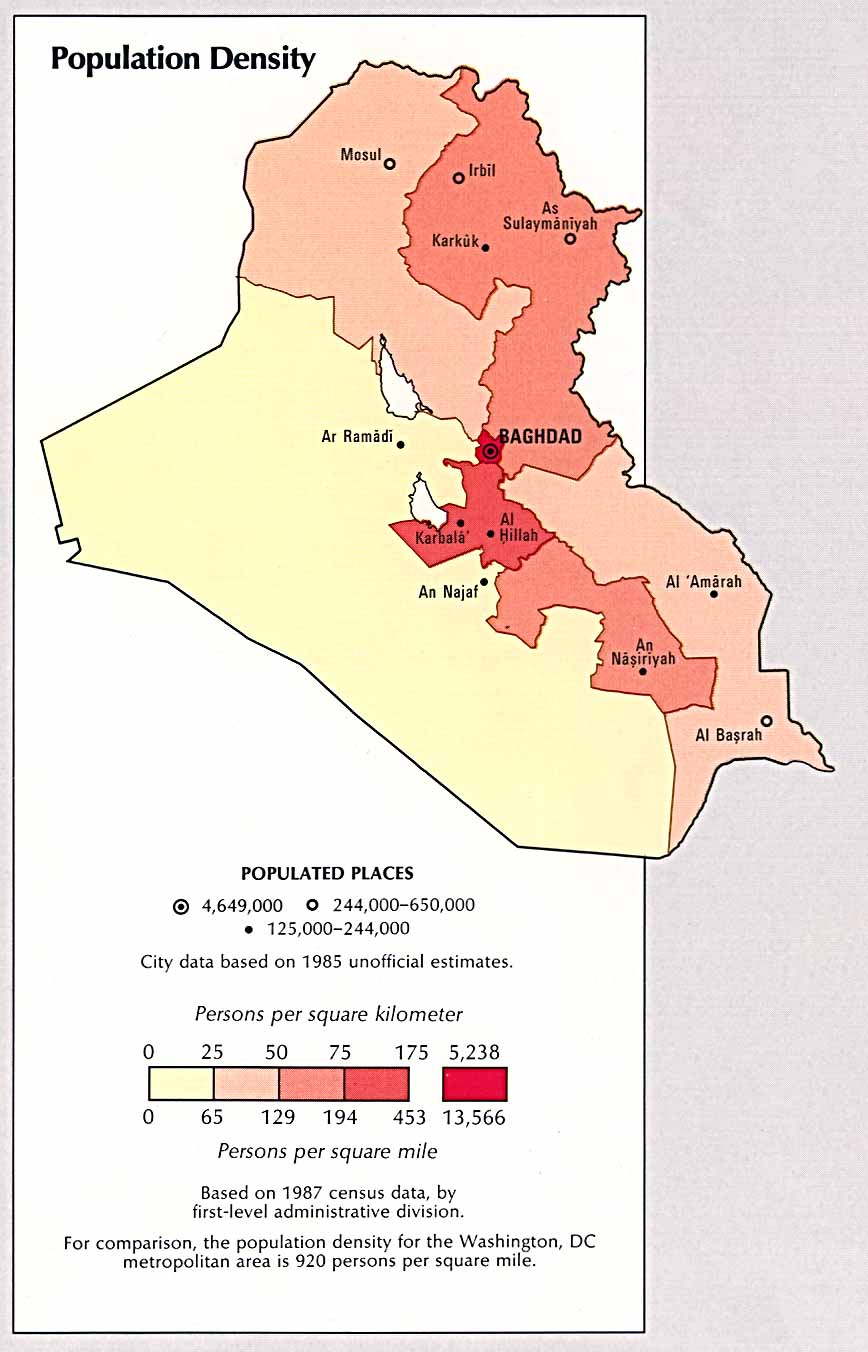
On the lib.utexas.edu maps above, the city of Tikrit is not marked. If you’re defining the ‘Sunni Triangle’ as Baghdad, Ramadi (Al-Ramadi, Ar-Ramadi), and Tikrit, then you should know that the tiny red splotch north-northeast of Baghdad is Tikrit.
Wikipedia (wikipedia.org), a user-filtered encyclopedia that I usually find to be pretty accurate, lists the populations of those areas as follows:
Tikrit - 28,900 (2002 est)
Baghdad - 5,772,000 (2003 est)
http://www.library.uu.nl/wesp/populstat/Asia/iraqt.htm , a university source I was unable to correlate, lists Ramadi’s population as 423,000. It agrees with wikipedia on Tikrit and estimates Baghdad (2002) as 5.6M instead of 5.77M.
Ar Ramadi - 423,300 (2002 est)
The same source lists the population of Salah-ah Din Province, of which Tikrit is the capital, as 1.13M (2002 est); Baghdad Province as 6.21M (2002 est); and Al-Anbar province as having 1.26M (2002 est). I advise you to check out http://www.1uptravel.com/worldmaps/iraq23.html
to see what those provinces include, however. The percentage of Al-Anbar that is encompassed in the Sunni triangle is quite small, and Al-Anbar extends down toward the marshes where the majority are Shia Muslims.
In any case, you can use just city populations (6.22M) to get a lower estimate (~25%) to your question, or the province populations (8.6M) to get an upper estimate (~35%). I’m dividing those into the CIA World Fact Book population figure for Iraq(24.68M) to get percentages above.
Realize, though, that both figures include the total population of Baghdad in the “Sunni Triangle” and that there are non-trivial numbers of Shia in Baghdad that will definitely skew the Sunni-ness of your Triangle.
Hope this helps…
Jurph