G’day Mateys! Where in Australia is the outback? Which territory(s)? I have looked at maps and don’t see Outback written anywhere.
Trying to find the outback on a map of Australia would be like trying to find the midwest on a map of the US. It’s a term applied to a large area of geographically similar land. Roughly speaking, Alice Springs is in the middle of what’s known as the Red Centre, which is the rocky desert “outback” of films. It starts, more or less, north of Adelaide, east of Perth, south of Darwin and west of the border of New South Wales.
As Matt pointed out, The Outback is a generic term used to describe harsh country, rather than an actual place.
It tends to be used to describe regions more towards the centre of the continent, and areas which are a far away from urban centres. It’s mostly used to describe arid regions, so the far north (which is very rugged country), because of its tropical climate and its wet seasons, isn’t generally regarded as “outback” (except by the makers of Survivor II), even though it’s incredibly harsh, isolated country.
I tend to regard anything west of Bourke as “outback” NSW (we don’t have the saying “back o’ Bourke” for nothing); what all “outback” areas of Australia have in common is extremities of terrain and climate, coupled with a scarcity of population, which can make them dangerous to the uninitiated.
ANZWERS is a fairly good search engine for information on things Aussie and Kiwi.
I did a search on “outback” and found thousands of sites, many of which have photos of the kind of country you are referring to.
Behind the Upfront!

I’m sorry I posted this, i’ll go back to MPSIMS now…
broccoli!
The short answer to the OP is, “The outback is the big desert part in the middle of the continent.”
And I dunno what Matt’s talking about–us Midwesterners never have any trouble finding the Midwest. It’s everything that isn’t cold enough to be the North and isn’t redneck enough to be the South.
[chasing Broccoli back to MPSIMS with a broom]
Where is it?
gestures behind him
It’s out back.
uncanny
It is a little known fact that ALL houses, buildings, etc. in Australia are built facing the coast (not hard to do on an island actually!).
This ensures that the land in question is indeed “outback”!
My house is built facing east, which is inland. Of couse, you could say it’s facing the coast some 2000km away, but not the coast that’s only 2km away.
The outback is out back of beyond … the middle of nowhere.
Duck Duck Goose writes:
> And I dunno what Matt’s talking about–us Midwesterners
> never have any trouble finding the Midwest.
What mattk was saying was not that Americans don’t know what the Midwest is, but that they know what it is despite the fact that it’s not marked on any maps, just as Australians know what the outback is despite the fact that it’s not marked on any maps.
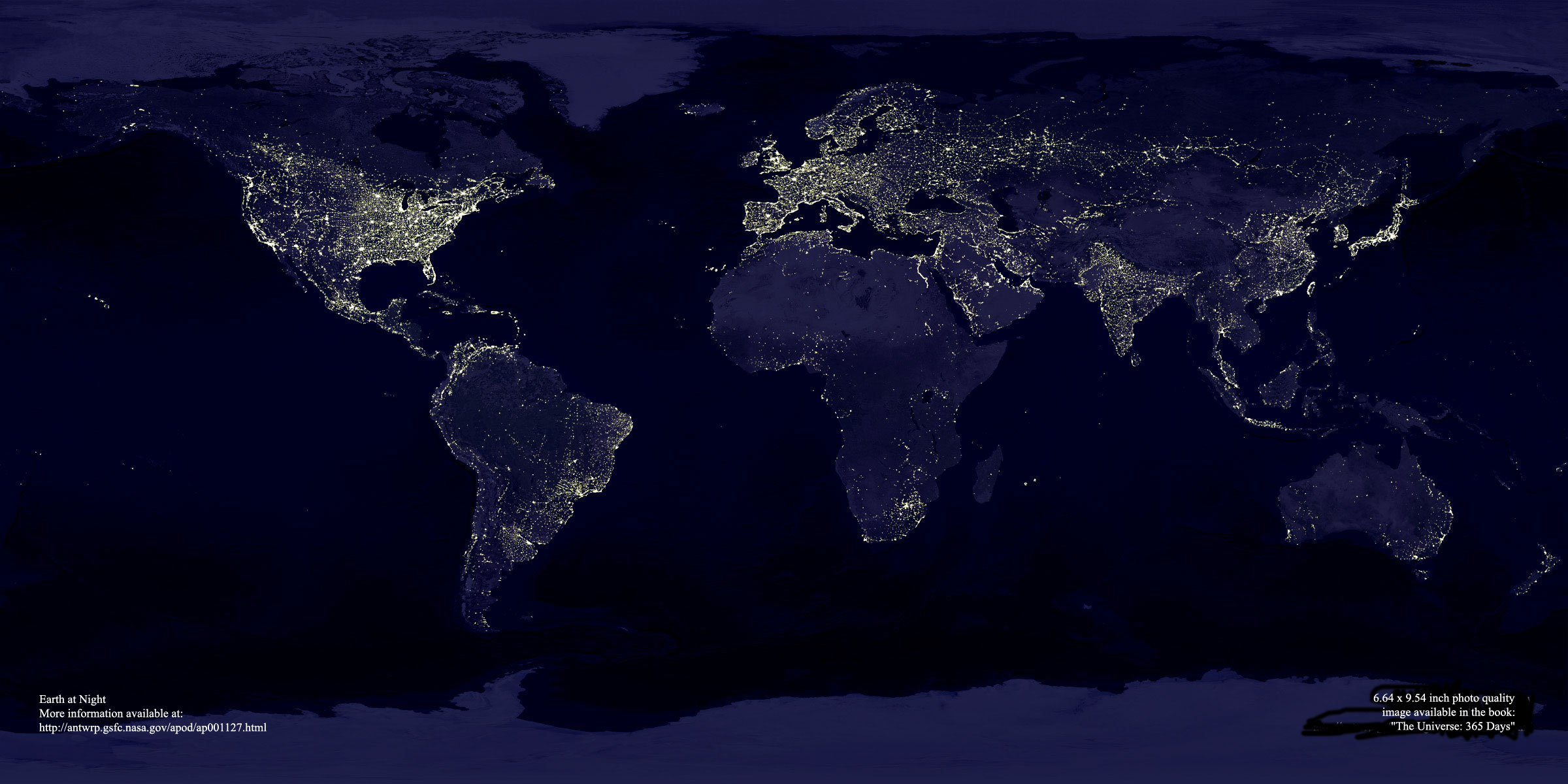
This picture mentioned by Auntie Pam in this thread might be helpful (as well as being very cool). As Mousseduck said “the outback” doesn’t really refer to a particular place, just somewhere in the bush beyond the black stump. From the picture you can see that there is plenty of it as soon as you’re a couple of hours’ drive from the south-east coast.
OK, picmr, so where was (or is) the proverbial black stump, then?
Well, there’s a black stump at Barcaldine. That’s probably the easternmost one at only about 700 km inland.
This is a bit of a misconception I’m afraid. In addition to the one Barcaldine mentioned by Gaspode, some people believe that the stumps on properties at Coolah and Merriwagga (both in NSW) are the source of the phrase. Others suggest the term refers to no place in particular. Later European-trained expatriates have also suggested that the use of the term in reference to the NSW State Offices building in Sydney would mean that the whole country was “beyond the black stump” in a cultural cringe/ tyranny of distance kind of way.
The truth is more interesting as piece of social – and particularly oral – history. There were in fact a whole series of black stumps, representing not the charred remains of fallen or felled trees but rotten teeth. The post-colonial expansion of Europeans into the outback meant a concomitant expansion of Western diet – damper, tea and crucially sugar – beyond the reach of medical infrastrucure.
An early piece of pro-Federation propaganda played on the disdavantage faced by what are now termed “rural, regional and remote Australians” by producing a cod-weather map of dental depravity. Rather than showing isobars – lines of equal barometric pressure – the pamphlet in question joined communities of equal dental achievement to produce a stark image of the hollow and decayed centre of the continent (and by association the potential benefits of Federation of the States).
The inner ring – signifying great dental disadvantage – was symbolically “pegged” by an iconic row of rotten teeth. Hence “beyond the black stump”. This encompassed much of the country. A middle ring – showing sporadic access to dental care – was for a while known as the “zone of unconventional whistling”, but the term has of late fallen into disuse. The “isodent” signifying appropriate standards of dental care was pretty much confined to Sydney and Melbourne. It was known of course as the “ring of confidence”.
[stands to applaud]
The “isodent” saga … gold picmr, purest gold.
[resumes seat]
Applauds picmr.
BTW, there’s a Black Stump about 10 minutes drive from here : their food sucks.
“zone of unconventional whistling”
Sounds like my flatmate’s room when he’s listening to The Corrs.
[whistles through teeth, stamps feet] yaaaaay, picmr, yaaay.[/whistles through teeth, stamps feet]. Well done.
Mind you, I think you could construct a map for the demise of working class suburbs and rise in gentrification by drawing lines between the local pubs which have been yuppified into bistros. In fact, I think it’s reviewed after the news each night.
You know, isobars.