Not sure if this belongs in Factual Questions or here - Mods move if you see fit.
I board a cruise on Saturday, February 25 from Port Canaveral, Florida. We set sail at 4:00PM EST. The Space-X crew 6 launch is scheduled for Sunday, February 26, at 2:07AM EST from pad 39-A at KSC.
The current cruise (left Saturday) is sailing the same itinerary as my cruise. At 2:00AM Sunday morning the ship was located approximately 110± miles from KSC, almost directly “east” of Vero Beach, Fl and due “north” of the very western tip of Grand Bahama Island, somewhere around coordinates 27.83, -79.17.
I was unable to find the flight track of this launch, but assuming it launches, and the weather cooperates, and the ship follows the same track as this voyage, will anything be visible from sea once the rocket gets airborne?
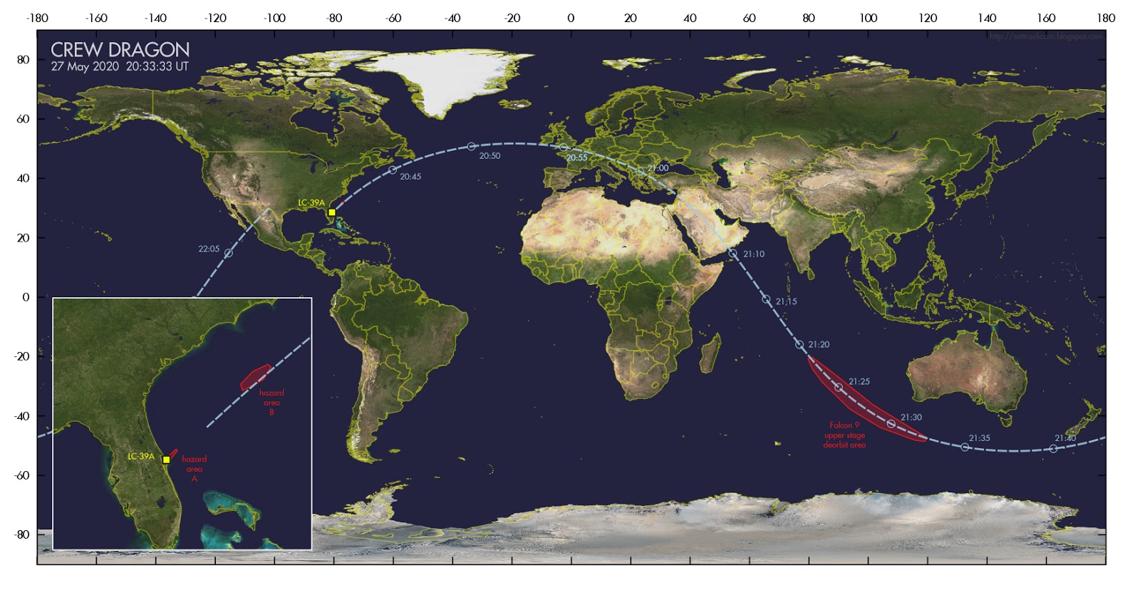
Almost certainly. The ground track will be to the northeast–they need to match the inclination of the ISS, which is at 51.6 degrees. The latitude of Cape Canaveral takes off several degrees from that, so it ends up being about 45 from the equator, like this:
Pretty much the same for every ISS launch since the orbital mechanics doesn’t change. At any rate, you’ll easily see it if you’re in the vicinity. The plumes might be quite spectacular if they get illuminated by the sun; I’m not sure offhand if that will happen at 2 AM in Florida. But it should be impressive regardless.
Almost two years ago we were in NJ, on the jetty by Old Barney (Barnegat Lighthouse) shooting the Milky Way. MW had set so we were doing light trails & waiting for sunrise. What frustration that was, a couple of a-holes idjits decided they were cold/done for the night & used flashlights to illuminate the sand as they walked back & off the beach - messing up our shots (as astro photogs they should have known better than to create light pollution for others). Then there were a couple of transports coming up the coast, going into McGuire that created a couple minutes of annoying red lights.
All of a sudden, there’s a really bright light coming from the right cutting across the sky. WTF is that?!?!? Someone said it’s a plane with landing lights on. No, I stated, landing lights show forward, not backwards. “OMG, it’s a UFO” someone else said! (& technically, it was, for about 10 seconds as we weren’t able to identify what it was at first). Then someone remembered there was a SpaceX launch, they thought from VA. A quick Googling showed that there was a SpaceX launch, a few mins earlier…from FL.
Not only were our ‘ruined’ pictures probably a once-in-a-lifetime shot but we got to witness stage separation, too. That happens at about 100 km up.
SO also managed to capture one (on cell phone) when were were in the Adirondacks, near the southern end of Lake George; specifically from Floyd Bennett airport in Queensbury, NY last Sept. Both of those were hundreds of miles further away than you will be
Is there, like, a cruise concierge you can contact, and ask about this? I’m sure they would be able to tell you. However, looks like you’ll be able to see this launch, regardless of distance, unless there’s thick clouds or fog.
My linked timelapse was from a starlink launch, not an ISS launch & was much lower than 45° in the sky. Do they have a much lower trajectory or was it that low in the sky because of how far north I was?
There is a ISS launch just after midnight Thurs night/Fri morn & I thought about trying to line it up with ::something:: - how cool would it be over The Statue of Liberty! Of course, might have light pollution issues there so was thinking more like a lighthouse on the coast somewhere in NJ or Lawn Guyland, probably either Old Barney or Fire Island but how high it is in the sky affects where I stand to line it up with my intended target.
Unfortunately can’t do it this Thurs as Momma N. isn’t going to cooperate; will be cloudy / raining from at least DC thru NYC but can still gather info to plan it out for a future launch
I meant the ground track, not the elevation. I.e., it launches almost exactly northeast from the Cape. Where it actually ends up relative to you depends on where you are of course, but if you’re on a cruise ship somewhat east of Florida, you’ll see it launch from the west and head more north as it passes by.
Here’s a profile of the upcoming CRS-27:
You can see that at 50 km, it’s about at 45 degrees, but it gets flatter once it’s 200 km downrange. That makes sense; rockets mainly want to go sideways really fast, so it’ll flatten out as it goes faster.
Most Starlink launches have a similar inclination (53.2 degrees) to the ISS (51.6). So they should look fairly close. Some launches are to polar orbits (much higher inclination), but I think those are all out of Vandenberg in CA.
Good luck with your photography! Your timelapse looked great.