I learned in school that Canada was the second-largest country in the world. But when looking at a globe, which unlike various map projections is supposed to show everything in its correct proportions, the USA looked like it could be larger to my eyes (don’t forget Alaska). I mulled this over in my head for years. Finally, well into adulthood, I found out thanks to Wikipedia, that Canada is indeed the second-largest country if one includes its waters. In terms of land area alone, it is the fourth largest, with both China and the USA being bigger.
I now live in the Czech Republic. When I tell people here that I come from Toronto, I can’t tell you how many people have asked “Is that the French part of Canada?” Toronto, being the capital of Ontario, is in one of the many parts of Canada where you don’t really need French at all to live life. Quebec (and thus its major cities Montreal and Quebec City) is the main French part. New Brunswick is something like 1/3 Francophone. Everywhere else, cohesive French-speaking populations are either absent or exist only in enclaves.
I learned a weird factoid about Canada not too long ago. Of its 3 territories and 10 provinces, the four of the capital cities are on ocean islands. So, yeah, no surprise that there is a lot of water there.
Want another? Canada shares a water border with France. This is because Saint Pierre and Miquelon, a group of islands just off the coast of Newfoundland, are a French overseas collectivity, all that remains of the sometime colony of New France from which Canada arose. Currently, all the territories that remain of France’s old colonial empire are legally integral parts of the French Republic, so legally Canada is not far away from a part of France.
I always assumed that the island where Napoleon was dumped, Elba, was some ridiculously isolated place. Then I was in a pizza joint a little while back that had a map of Italy on the wall, and I was rather surprised to discover that, no, Elba is actually just off the Italian coast. Like, RIGHT there.
The British apparently realized in retrospect that this had been a poor decision. The second time they exiled him they chose Saint Helena because of its extremely remote location.
If you ever want to annoy people with geographical trivia, ask them to name all of the countries that share a land border with France.
The easy part of the answer is Belgium, Germany, Italy, Luxembourg, Spain, and Switzerland. The somewhat trickier part of the answer is Andorra and Monaco. The part that will make people swear at you is Brazil and Suriname.
True. But you try swimming the ~8 miles to shore. Or building a half-assed raft out of twigs in a stolen mattress sack & floating to sweet, sweet freedom.
Back in the day, 8 miles of open water was a big obstacle. Nowadays even 100 miles becomes at least potentially surmountable solo … with just a little more of the right gear.
It gets more complicated there. Overseas departments are clearly a part of France; they’re the equivalent of Alaska or Hawaii. But overseas collectivities have a more distinct political relationship with France; they’re the equivalent of Guam or the US Virgin Islands. They’re places that are owned by France but are arguably not part of France.
Maybe. Because different countries treat their overseas possessions differently, I use this rule: If an overseas possession is represented in the national legislature by fully participating representatives, then it’s part of the main country. Otherwise not. [Note that the US Virgin Is and Guam are not part of the US by this rule.]
Sounds to me like collectives are part of the main country by my rule. However, I could be mistaken.
Then there’s the question about whether Sint Maarten is part of the Netherlands according to my rule. I read part of the wiki page on Kingdom of the Netherlands and it probably is not, but I can’t say for certain.
Fuck. Try to suss “UK”. Man is not technically part of the UK, but it is some sort of weird crown protectorate. Then there are Jersey and Guernsey, which are right off the French coast but somehow within the British sphere. And those random carribean islands that – arrgh.
Which leads to another geographical catch question - which two countries sharing a land border have their capitals farthest apart?
Of course, it’s France and Brazil, 5,400 miles from Paris to Brasilia, beating out even Moscow-Pyongyang. Yes, Russia and North Korea have a land border.
I just found a map of South America from 1922. It looks like there have been zero border changes, and (excepting the Guianas) no country name changes. They did consider Panama as part of South America on the map. Am I correct?
Did/does anyone else? That’s a different question.
When I lived there (1980s), The part of Panama north = west of the canal was considered part of Central America and south = east of the canal was considered part of South America.
I commuted intercontinentally every day to/from work. As did/do thousands of other people.
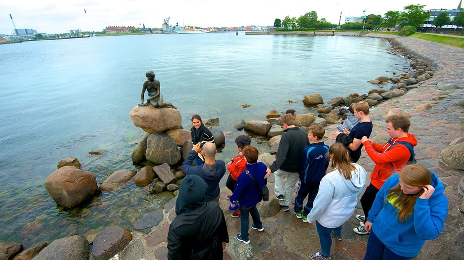
Since it appears that statues and stuff are also being discussed, I remember visiting Mount Rushmore for the first time and being rather disappointed at its size. Now, granted, it’s still big, objectively (faces are about 60 feet tall), but from seeing the pictures, I expected it to be one enormous mountainside or something. It seems that I am not alone in my perhaps unrealistic expectations.
If you look ore closely and compare it to modern maps, there are some border changes. For example, the border between Ecuador and Peru is way too straight in that map. The same for the Bolivia-Paraguay border. I don’t know the history of the former, but Paraguay and Bolivia fought a war in the 1930s over a disputed region called Chaco. Paraguay won and ended up with two thirds of that region.
It’s still part of the Kingdom. It’s become an autonomous region a couple of years ago, along with Curaçao and Aruba.
Saba, St. Eustatius and Bonaire are now Dutch municipalities.