I happened to see maps of Jordan and Iraq posted up on a wall, and they both showed a “de facto” boundary at the eastern end of Jordan, at its border with Iraq. There was an airfield that was now on the Iraqi side of the “de facto” border, even though it was supposed to be in Jordan originally. It looked like the “de facto” border had been drawn mainly to give Iraq control of that airfield.
When did this happen? Was it some kind of accommodation reached during Desert Storm? Did Iraq strong-arm Jordan into acquiescing in this takeover, or was there a quid pro quo?
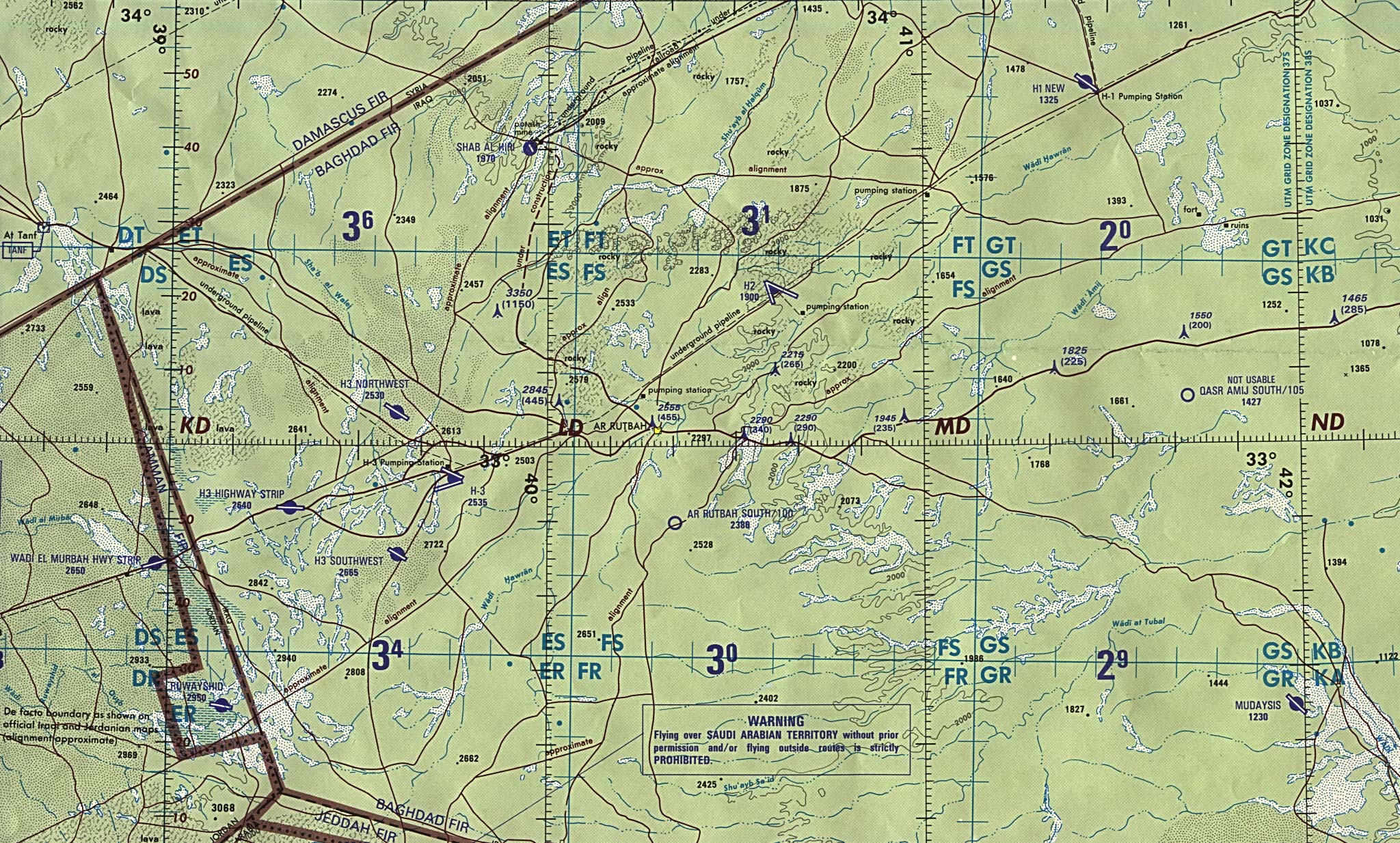
The Iraqi military airfield there is called Ruwayshid (32° 24’ 31"N
39° 07’ 31"E), but I can’t find any information on when the region changed hands. A rather slow-to-load map of the border can be found at http://www.lib.utexas.edu/maps/middle_east_and_asia/iraq_g4_90.jpg
However there is a Jordanian town across the border with almost the same name (Ar Ruyayshid) and also with an airfield (I think just off the map you show) that you may be gettng confused with.
However, notice that the map is amiguous, with two borders being marked - the marked Iraq/jordan puts the airfield in Jordan
Yeah, that’s what I mean. There’s now a rectangular jog in the Iraqi-Jordanian border, where it used to be straight. Just enough to put the formerly Jordanian airfield within Iraq. What was up with that? The CIA map I saw labeled it “de facto boundary.”
I have not been able to track down exactly when the present defacto boundary was established. See http://www.straightdope.com/classics/a3_304.html for some information on the problems of boundaries in that area.
“The Office of the Geographer at the U.S. state department, which provides the official word on international boundaries for all U.S. government maps, continues to show the diamond-shaped neutral zone with a line running through the middle and the words, “de facto boundary as shown on official Iraqi and Saudi maps (alignment approximate).” Similar notes appear on U.S. maps showing the rest of the Saudi-Iraq border (which was basically straightened) and the Iraq-Jordan border (which was made more crooked). The de facto borders are believed to be accurate within 150 meters, or perhaps a city block–no big deal to you and me, but to government cartographers used to pinpoint precision, a constant source of irritation.”
We’re getting a little closer, but how odd that the real straight dope on this question. still eludes us. I didn’t know I was playing a game of “Stump the Dopers.”