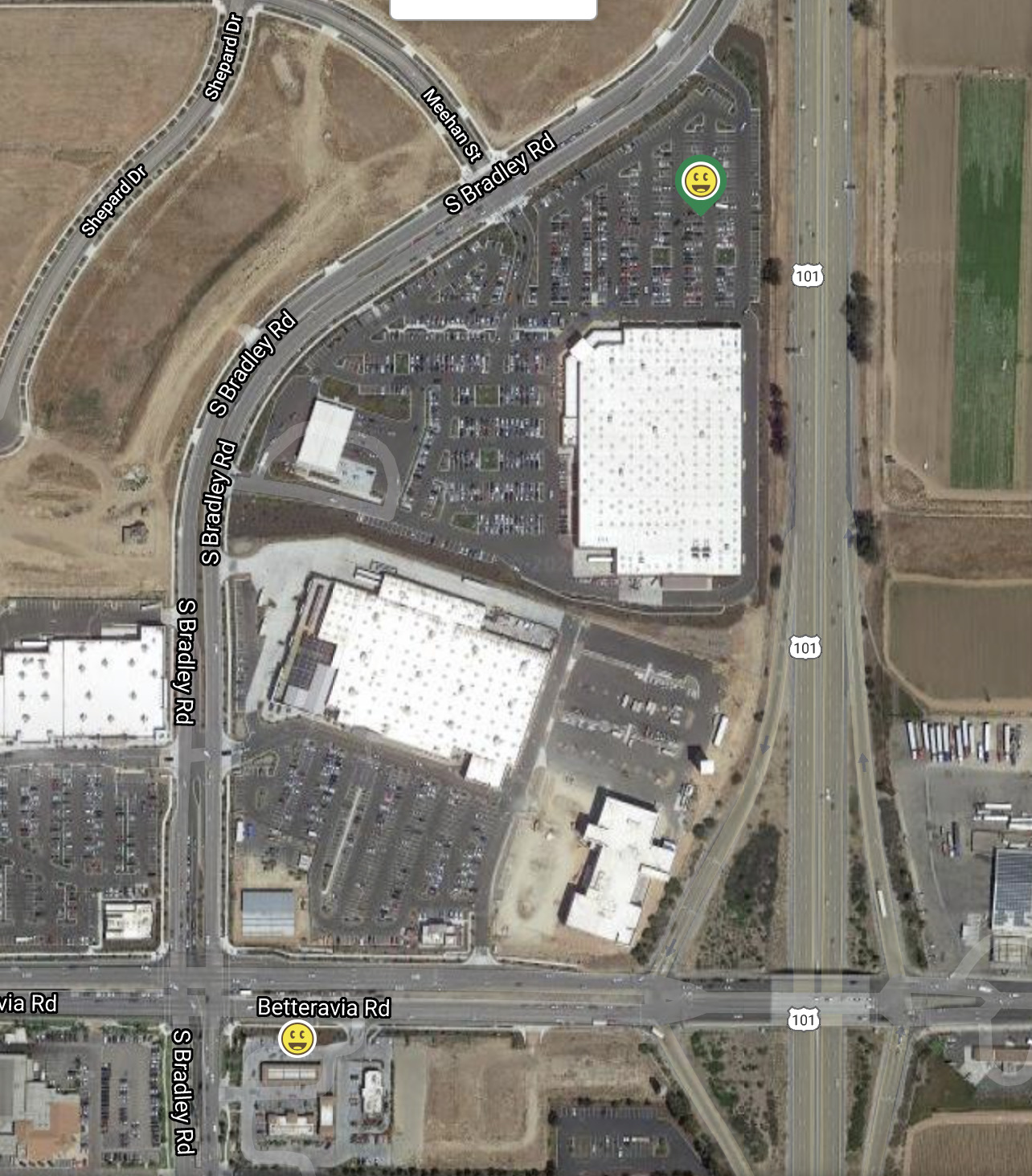
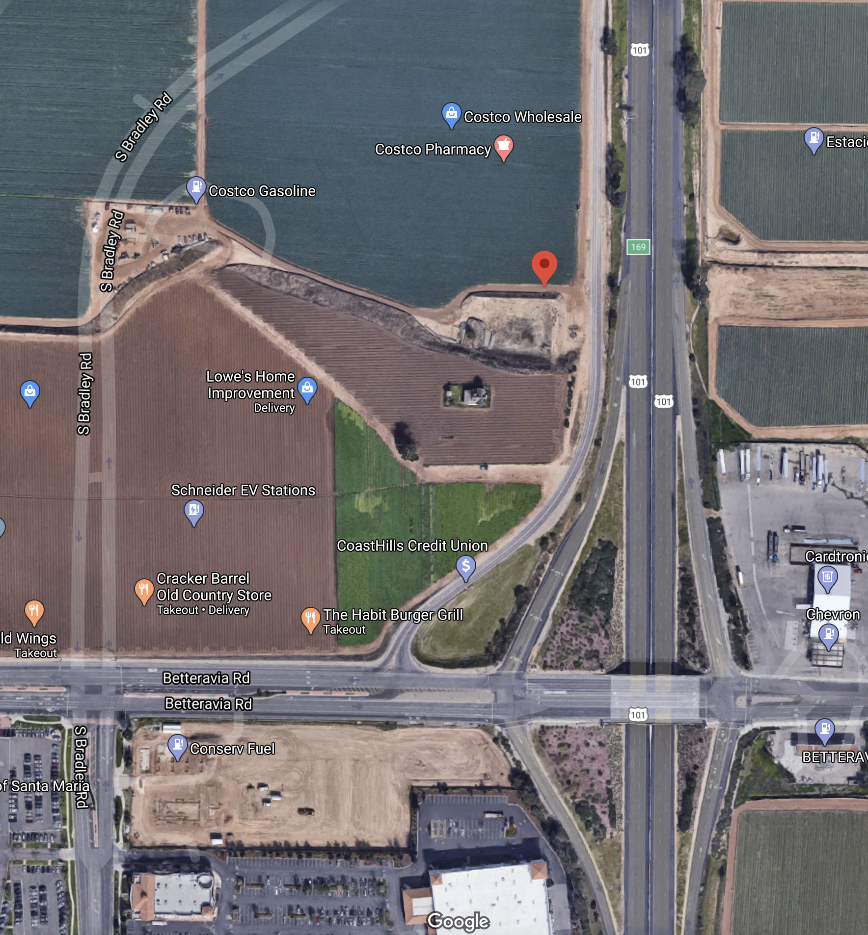
Below are links to two different screen shots of the exact same area. They are both Google Maps. The first one is from the Geocaching website. The second one is taken from the Google Maps site directly.
I live in the area so I can assure you the first link is the more current version. How (or why) would Geocaching.com have access to an updated version and the updated version not be the Google Maps site by default?
I just noticed something else peculiar, If you look at the satellite preview it shows the current configuration. But clicking on it takes me back to ‘before Costco’ configuration. Strange.
They don’t do their 3D flyovers (which take multiple passes over the same area, so the cameras can take pictures from different angles and then recombobulate it into 3D) as often as their orthogonal (2D) flyovers, it seems.
I gotcha, I’m saying that Google has many sets of imagery for any given location.
Google Maps defaults to an older set of imagery because it is in 3D. If you hold down CTRL and left-click to drag the map, you can see the house and tree in 3D. But this imagery is slightly older, without the newer construction.
Geocaching.com uses newer 2D imagery, still from Google, but without the 3D functionality, probably because they do 2D flyovers more often than 3D flyovers (which are probably more expensive). But you can also see this 2D imagery by disabling the 3D mode in Google Maps, clicking the Globe icon or opening that link in incognito. Then Google Maps will show you what Geocaching shows you.
And if you download Google Earth Pro for the desktop, you can see their whole collection of historical images for that area, going back to 1994, with that area in various states of construction.