As I look at the world atlas (I love maps, could look at maps for a long time), I cannot think of a country that is more difficult to draw a map of, by hand, by memory, than Canada. All of those islands in the north. Can anyone think of a more difficult country to hand-draw an accurate map of?
Indonesia and the Philippines’ maps must be hard, too.
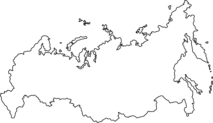
Russia’s quite hard too.
If you look at Canada’s outline, whilst the north of the country is quite hard, the south is really easy. Russia would be quite difficult to get right in a freehand sketch, but apparently if you just draw a sort of pregant Pete’s Dragon on his side you won’t be far wrong for an impression.
The island groups are going to be the hardest, though. As you say, Indonesia is quite fiddly.
I think it depends on the scale at which it is to be drawn. If it’s being drawn to fill a sheet of A4 paper, Norway might be harder than Indonesia, because you would have to include all the fjords.
I could do what Al Franken does when I was in 5th grade. I could do Canada, but my arctic islands would be sort of approximate. If you learn the three or four biggest islands up there, that would be close enough. I once amazed some travelers in a hostel by drawing a pretty decent map of Africa, which I had never even tried before.
I would just draw a blob with a mostly-straight southern border, a mostly-straight Alaska border, Hudson Bay, and some random blobby islands above all of it.