I’m planning a little trip to San Francisco this year and I’m making a list of interesting places to visit, bars, comedy clubs, whatever. I’m hoping to then print out a map with all of these choice locations marked in case I get lost of don’t want to use my tourist senses to find a good place to eat
Is there an online mapping software service that will allow me to add several markers to a city map which I can then print out with a couple of lines of text explaining what the marker is pointing to?
I can do with with mappy.com but it doesn’t work in the USA and thought that Google maps would allow me but it doesn’t seem to.
You do realize there’s a little checkbox at the lower left hand corner of Google Earth that allows you to turn on street names? It’s market “Roads” and superimposes the street names and lines over the satellite image.
Alternately you could do it how I do it: buy a street atlas program for $50 that does everything you need and more. I use DeLorme Street Atlas but I’m sure there are plenty of others out there.
There’s also a feature called “Google Earth Community”, which adds a bunch of placemarkers submitted by anyone and everyone. They include random things like popular traffic speed traps, clubs people liked enough to add, supermarkets, parks, etc. You might find something interesting in there.
Windows Live Local allows you to set pins with an option of pure map or aerial photo with superimposed street names.
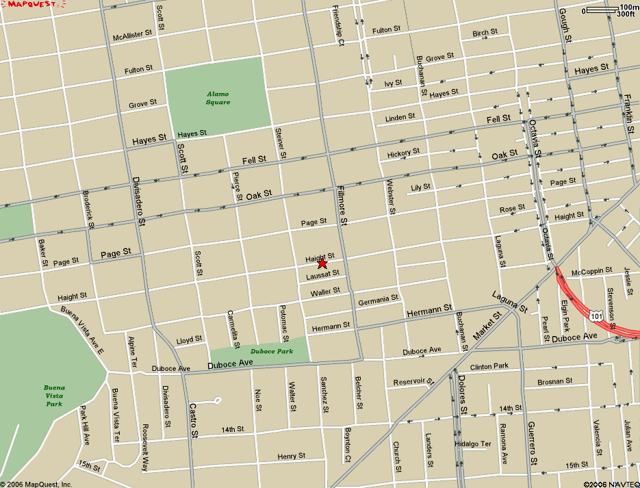
And not exactly what you’re looking for, but when you select “Printer-Friendly” in MapQuest, it provides a small notepad window in the upper left to add comments before you print the map and directions.