I learnt in school about the US-British dispute over the Oregon territory. So that means that the boundary runs between British Columbia and Oregon, right?
But no! There’s this whole other state between BC and Oregon! Why wasn’t I told?!?
I grew up in Oregon, so local Pacific NW geography was perhaps slightly more emphasized than for people in other areas. Perhaps in Canada they just don’t teach that part.
The provincial capital of BC is over 30’ south of the 49th parallel. Also, most of the population of the state of Oregon is concentrated in an area that is more northerly than where most of the population of Canada is concentrated.
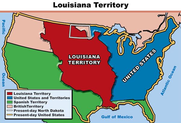
One of the more obscure features of American history is that territories very often changed at some point during the process of becoming a state. It’s already been mentioned that Oregon territory included what is now Washington state. Here’s a map of Kansas territory. You can see that it originally included much of Colorado.
Of course, this was after the Mormons’ proposal for the State of Deseret (note that the final “t” is pronounced) wasn’t accepted, even though it was self governed for two years.
To make matters even more confusing, the city of Vancouver is just North past the US border into Canada, and Portland Oregon is bordered on the north by the city of Vancouver.
When I was eighteen I rode the bus to Portland O, from California, to go to college there. I asked someone where the ocean was. He just looked at me contemptuously. Despite its name, Portland is eighty miles from the Pacific (the Columbia is navigable all the way there), unlike Portland Maine, dead opposite 3000 miles away on the Atlantic.
This is the rule rather than the exception. Nearly every state west of the Appalachians started as a much larger territory that was later divided before statehood: Ohio, Indiana, Michigan, Wisconsin, Iowa, Nebraska, Missouri, Mississippi, Arkansas, Kansas, Dakota, Washington, Idaho, …
Even several eastern seaboard states started larger: Massachusetts (which included Maine), New York (which included Vermont), Virginia (which included everything north of North Carolina to the Mississippi river), North Carolina, Georgia, Florida, …
Well, Oregon’s little nub of a panhandle that includes Astoria, is more north than Vancouver, WA and all of the WA side of the Columbia River, so part of Oregon is north of part of Washington.