To make the math simpler?
How so? I mean, aren’t there astronomers and telescopes all over the earth (and around/above it), at different coordinates?
You fly neither east nor west to get from LA to Tokyo. You can fly eastwards or westwards from LA to Tokyo, but flying westwards is notably shorter.
In essence you’re confusing the noun use and the verb use of “east” and “west” by your choice of words.
East is a position. Eastwards is a direction. They are not the same thing. If you use the word “east” when you really mean eastwards then you’re either confused yourself or you are confusing your audience.
In colloquial usage, though, don’t people often use them interchangeably? At least they do in my neck of the words (West Coast).
I hear “drive east towards blahblah” more often than I hear “drive eastwards”.
Is Llamadrama a Zen master, or do they just like to talk like one?
Yes.
-Brian
Depends on how much AI was used to make it, apparently.
Semantics aside, I think the point being made here is the one I make below …
When you’re working with points on a sphere, “east” and “west” are both right, and the practical definition is which way is shorter. For small distances it’s obvious. For points that are close to halfway around the world it’s less obvious and indeed less meaningful, but the general answer to “is Tokyo east or west of Los Angeles?” is “ask an airline which way they fly”.
OTOH, if you’re looking at a flat map on which the globe has been unwrapped and flattened, the answer is artificial and just depends on where the map is centered.
Today, sure. But when Greenwich Royal Observatory was in its heyday? No. There were other observatories, of course, and other nations trying to solve the problem of longitude, but they by and large produced observations for their own nation, with each nation often having its own preferred meridian.
The way longitude was calculated was by comparing local time (at the point of observation) to a known reference time. Whether you determined that reference time at a fixed meridian by maintaining a sufficiently accurate time piece set to it (a chronometer) or, before that, calculating the reference time by something like lunar observations. There had to be a known reference with sufficiently precise observations as to not be a significant source of error on its own.
Having that reference be “zero” just makes the math easier. Which was no doubt appreciated by those who had to do it by hand back in the day.
Yes, absolutely in colloquial usage they do just that. I do too.
From a linguistic POV what’s really happening is “Tokyo is to the east/west of Los Angeles” is being shortened by eliding the “to the” part: “Tokyo is east/west of Los Angeles”. In so doing the directional vector nature of “to the east” = “eastwards” is lost explicitly but remains implied. As opposed to the scalar nature of e.g. “120 east longitude” or “western hemisphere”.
But in the context of talking about global positions, latitude and longitude, hemispheres, etc., that colloquial usage is likely to confuse, not inform. Because the scalar nature is the one needed.
One would hope people wedded to one definition of a particular word would be open to the idea that that’s an underinformed POV and that words have more than one meaning. And that the meaning they think is primary (or only) is not in fact what’s primary for the context under discussion. Sometimes one hopes in vain.
IMO this is the only reply that makes sense at this point:
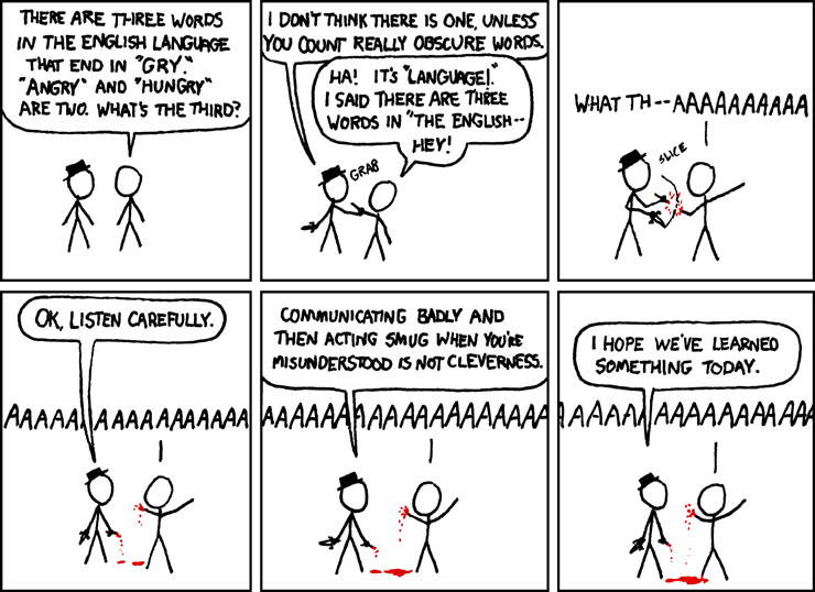
from xkcd: Words that End in GRY
There are the old trivia questons:
Which state is the westernmost state in the US?
Which state is the northernmost state in the US?
Which state is the easternmost state in the US?
Which state is the southernmost most state in the US?
Most people miss at least one of these questions.
By Lat/Long:
Alaska, Alaska, Alaska, Hawaii
By Travel:
I don’t know; where are you starting from?
That’s nice, because my birthplace was a couple of hundred yards east of the Greenwich Meridian.
Well, art is art, isn’t it? Still, on the other hand, water is water! And east is east and west is west and if you take cranberries and stew them like applesauce they taste much more like prunes than rhubarb does. Now, uh… now you tell me what you know.
– Groucho Marx
My problem is it’s a lot less interesting question when a huge proportion of posters have to say Hawaii and Japan for West and East. There would be a much greater variety of answers if we just used our personal locations as ground zero instead of imaginary lines on a map.
Good point. A separate “What’s the furthest you’ve ever traveled, and why?” would’ve been an interesting thread.
We have done that many times. And yes it is interesting. As in the folks from England claiming exotic locales like Los Angeles and the Angelenos claiming exotic locales like London as their extreme travels.
The OP of the source thread for this spinoff asked what they asked: extremes by Lat / Long. And that’s the thread they / we mostly got once their intent was clarified.
There’s no harm in somebody starting that other thread based on each of our personal coordinates. Just be sure your OP title and OP body agree on what you are asking and are clear and technically legit.
The Wikipedia article on Prime Meridian is interesting. Ptolemy set his meridian in the Atlantic (west of the known world) because he couldn’t handle negative numbers.
One interesting solution pair for the Westernest/Easternest debate is the islands of American Samoa and Samoa. Traveling west from the former to the latter, you advance your clocks by 24 hours.
The antemeridian passes through Taveuni Island, the third largest in Fiji, according to Wikipedia. Google earth seems to have a little trouble in that part of the world. The Aroha Taveuni Beachfront Bures Resort Hotel and the Garden Island Resort show as 1.56 km apart but on opposite sides.