Supposedly the west corner of the Millennium Tower (corner of Mission and Fremont in SF) has sunk 20 inches since the building was new. No question the building has tilted – if you hang a plumb bob from the west corner of the roof, the bob will be 28 inches west of the bottom corner of the building. The puzzle is, why can’t we see the sunken bottom?
Has the building sunk 20 inches and pulled the sidewalk down with it? And the street? Both sides of the street?
(I checked the latter – as I recall the SE curb of Mission was about 5 inches lower than the NW curb, in 2016. The other thing I checked was that big blue-top fire hydrant on the Mission St side of the building. In 2016 it was 6-1/2 inches lower than it was circa 1998, relative to hydrants a block or two away.)
Yes, the surrounding area is sinking too so there’s no one point where the sinking is dramatically visible. The only evidence visible to the naked eye would be cracked sidewalks and curbs.
I keep asking myself why this couldn’t have happened instead to the great vertical pile of oatmeal that is the Salesforce building? The Millenium Tower is one of my favorite modern tall buildings to look at in the city.
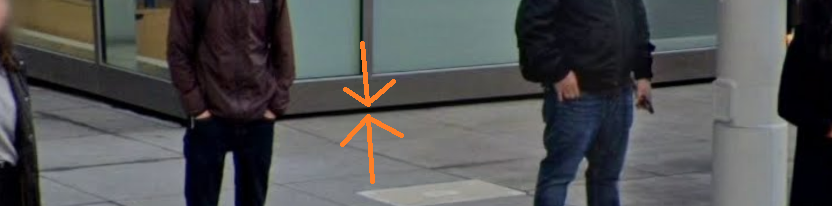
I forgot we can do a little checking on how far the sinking spreads. In 1985 the city did levelling at Mission and Fremont and found that a benchmark on the NE side of Fremont was 3.26 feet higher than a benchmark on the SW side. Those two benchmarks are still there, and the difference in elevation is now 2.88 ft (probably correct within 0.02).
pjd pointed out that the NE sidewalk has sunk less than the building has – 6 inches less, maybe. So good a guess as any, the NE sidewalk is 14 inches lower than it used to be, and the SW sidewalk is 9 inches lower.