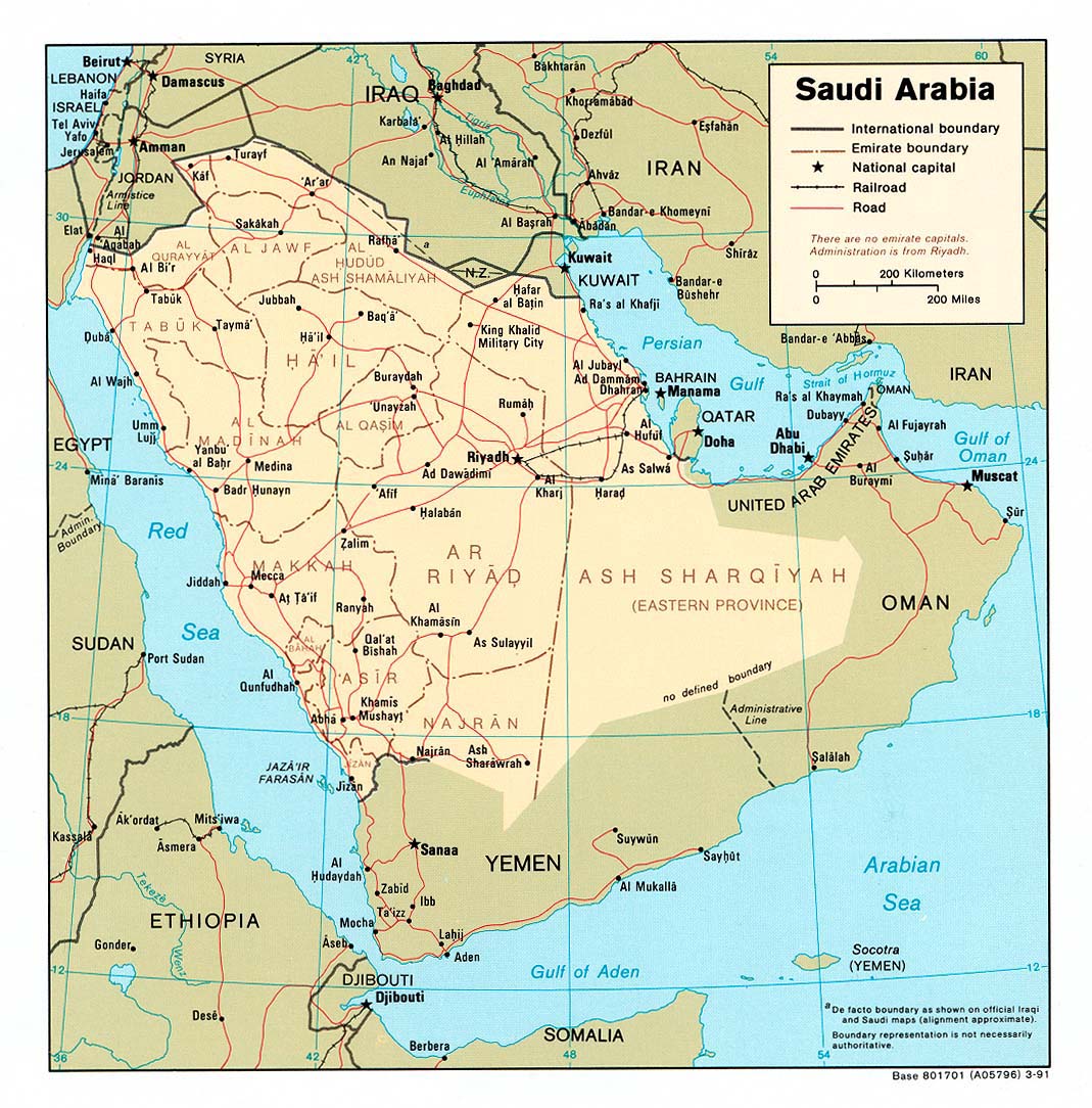
I have been trying to figure this one out for a while now. In the Middle East, where Kuwait, Saudi Arabia and Iraq meet there is a small piece of land that doesn’t seem to belong to any country or even have a name. Most maps don’t even have it labeled and simply leave it blank however This Map has it identified as NZ. Does anyone know what this piece of land is?
That’s the Iraqi-Saudi neutral zone. It was land disputed between the two countries, dating back to the 1930s, I believe. FInally, in the 80’s, they negotiated the border.
I have wondered, too. My school atlas in the 1970s said “Neutral Zone” but this lozenge-shaped area seems to have vanished from more recent maps. For example, this map on the CIA site seems to have distributed the area between Saudi Arabia and Iraq.